Frequently Asked Questions (FAQs)
-
Despite the corridor’s importance, its highway and transit facilities are deteriorating. This has led to traffic safety concerns, significant congestion, flooding risks, and pedestrian and transit accessibility issues.
The Connect Program establishes coordination across numerous agencies and communities to address these challenges. We are a multi-agency partnership that is working together to:
Establish a corridor vision to guide the Program
Coordinate and support Program implementation
Develop a funding and financing plan
Engage communities and stakeholders to understand priorities
-
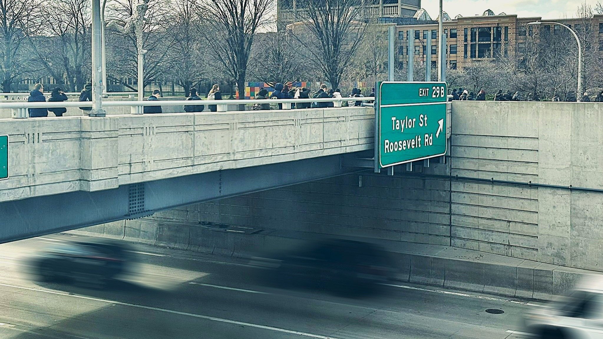
The corridor limits include I-290 between Wolf Road in the west and Racine Avenue in the east.
This stretch is approximately 13.2 miles long and also includes all CTA Blue Line stations from Forest Park to UIC-Halsted.
The corridor's transportation, land use, and community features interact with surrounding communities and infrastructure. Because of this, the Connect Program boundaries include North Avenue to Cermak Road.
View the corridor map here. -
There are 11 CTA Blue Line stations in the corridor: Forest Park, Harlem, Oak Park, Austin, Cicero, Pulaski, Kedzie-Homan, Western, Illinois Medical District, Racine, and UIC-Halsted.
The corridor also includes:
6.1 miles of 8-lane section from Austin to Racine
6.7 miles of 6-lane section from Wolf to Austin
8.2 miles of the mainline corridor co-located with the CTA Forest Park Branch
36 overhead bridge (including roadway, railroad, and bicycle/pedestrian bridges)
4 mainline bridges
19 interchanges
-
The Connect Program aims to reflect the needs and priorities of people who live, work, and travel along the corridor.
To gather these insights, the Program will engage community members, commuters, agency partners, municipalities, and other key stakeholders.
Document Library